Geographical information on a local, national and international level is a great value added to the Nordic Edge ecosystem. It opens doors to new possibilities in business development, including the development of digital twins.
– Nordic Edge is an important arena for the Norwegian Mapping Authority (Kartverket). We believe that geographical information can contribute in creating substantial value for both the private and public sector, says director Johnny Welle.
The Norwegian Mapping Authority (Kartverket) bears nationwide responsibility for geographical information, operates the national property registry and undertakes all property registration in Norway. The public organisation collates, systemises, manages and communicates public geographical information. It plays an important role as the nationwide coordinator of geodata, which involves establishing and coordinating work with the national geographical infrastructure within Norway, and is involved in many international activities and commitments, including the International Hydrographic Organization, ESA, ISO, UN og NASA.
– We are very pleased to welcome The Norwegian Mapping Authority to our cluster. We see Kartverket as a key player in societal development and believe that their know-how and geographical information will be a decisive contributor in developing our cities and communities in the years to come, says Trygve Meyer, head of the Smart City Innovation Cluster.
Nationwide Digital Twin
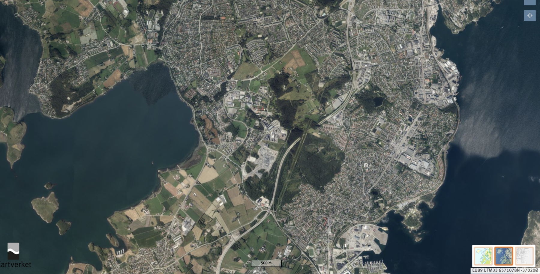
The Norwegian Mapping Authority is in the process of developing a digital twin of the City of Stavanger, in collaboration with the local authority and private partners. Next in line is expanding this project to a national level.
– Georgraphical information is key to business development. In collaboration with both the private and public sector, we aim to create a digital twin of all of Norway. This can in turn be used to gain valuable insights, create new services and processes, says Welle.
Through private-public partnerships within the cluster the Norwegian Mapping Authority is in a position to drive innovation and build competence through experimenting with the use of data and technology.
We welcome The Norwegian Mapping Authority and look forward to interesting projects together in the year’s to come!